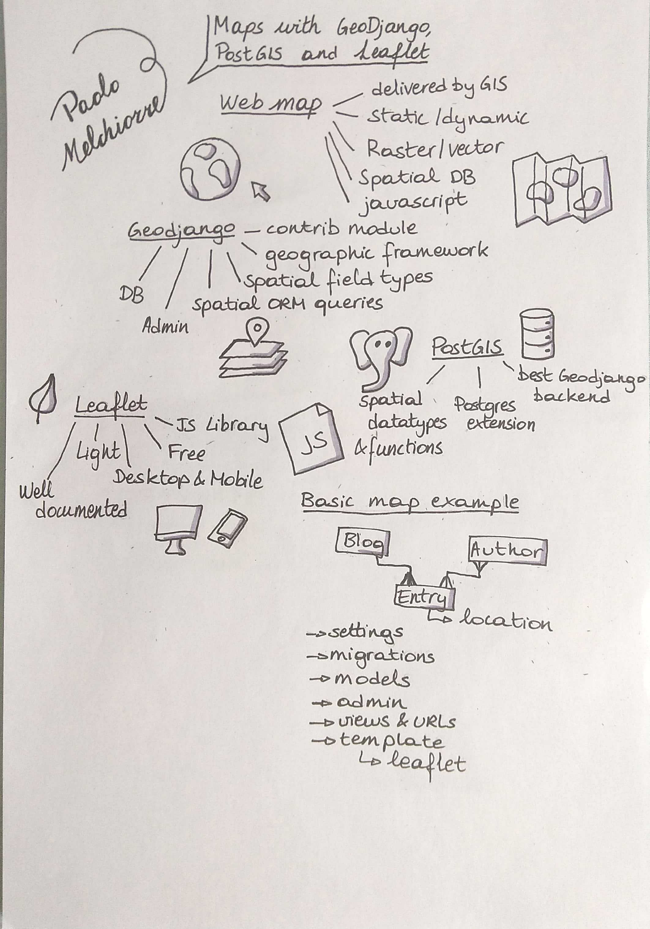

In this talk we will see how we have integrated a map into a web project already in production using GeoDjango, PostGIS and Leaflet and we will perform a demonstration of integration of a map from scratch into a Django project.
A map allows users to view and search for data in a spatial way and it is common to add one to their web project.
In this talk we will see how we have integrated a map into a web project already in production using GeoDjango, PostGIS and Leaflet and we will perform a demonstration of integration of a map from scratch into a Django project.
GeoDjango is a module included in Django that transforms it into a world-class geographic Web framework.
PostGIS is an extension of the PostgreSQL database that adds support for geographic objects allowing you to perform spatial queries.
Leaflet is the leading open source JavaScript library for interactive web maps optimized for mobile devices.